U.S. Weather/Crop Progress
Highlights:
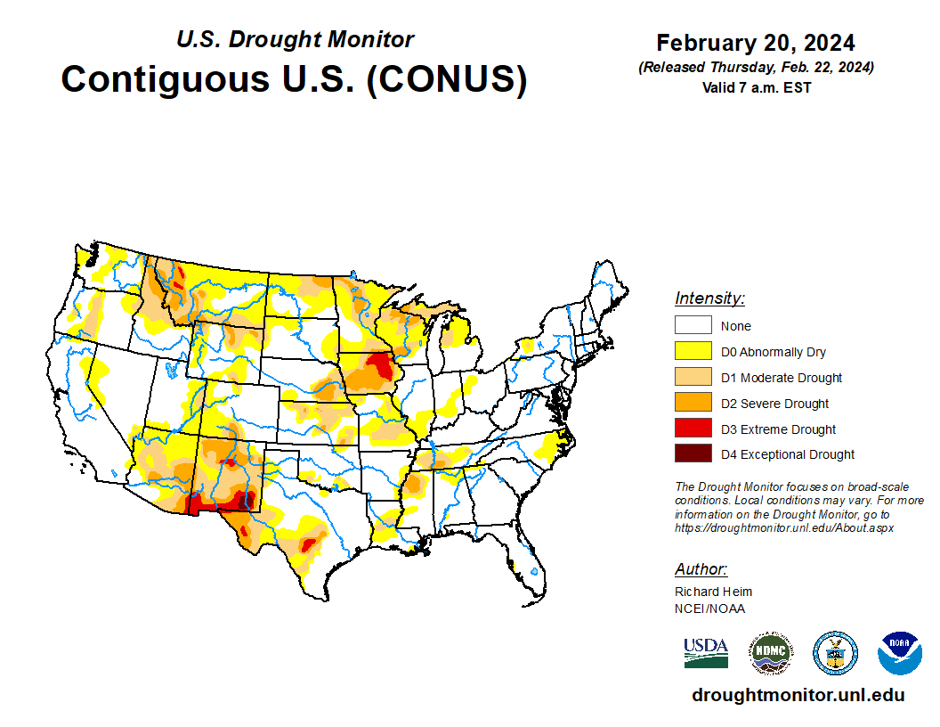
- In the West, precipitation is falling across most of the region. It is especially heavy in southern California which has faced flash flood warning. Significant snow is accumulating in many high-elevation areas. Constantly, in New Mexico, weather has been warm and windy.
- In the Plains states, cold weather is confined to areas along the Canadian border. Elsewhere in the region, the weather has been dry and windy with above average temperatures.
- In the Corn Belt, recording-setting warm temperatures are evident across most of the region.
- In the South, the weather is dry. Cooler temperatures are lingering in the Atlantic Cost States.
Outlook:
Storms are moving east across the country. Heavy precipitation is expected in the Ohio and Tennessee Valleys. During the weekend, rain and snow showers will affect areas from the Ohio Valley into the Northwest, while wet weather will return in the West, especially from the Pacific Northwest to the northern Rockies. Elsewhere, warm, mostly dry weather will dominate the Plains and the Upper Midwest, over the next 5 days. In Texas, another string of days with 80-degree warmth will begin on Sunday.
The NWS 6- to 10-day outlook for February 26 – March 1 calls for the likelihood of below-normal temperatures west of Rockies, while warmer-than-normal weather will cover the eastern two-thirds of the U.S. Meanwhile, near- or above- normal precipitation across most of the country should contrast with drier-than-normal conditions across Florida peninsula and the southern High Plains.