U.S. Weather/Crop Progress
Crop Condition and Crop Progress Reports not applicable until Spring 2025.
Highlights:
- In the West, precipitation – including high-elevation snow – is spreading inland across northern and central California and the Pacific Northwest. Meanwhile in southern California, less windy, more humid weather has reduced the wildfire threat and is aiding containment efforts for existing blazes. The Franklin Fire, near Malibu, California, has charred more than 4,000 acres of vegetation and has damaged or destroyed at least 15 structures, with assessments ongoing.
- On the Plains, dry weather prevails. However, frigid weather in much of eastern Montana and the Dakotas contrasts with mild conditions across the High Plains and southern Plains. For the second day in a row, high temperatures Thursday will remain below 0°F in parts of North Dakota, while readings could approach 50°F as far north as central Montana. Any snow cover is patchy and generally confined to eastern Montana and the Dakotas.
- In the Corn Belt, cold, blustery conditions are curtailing outdoor activities. Additionally, light snow is falling in parts of the western Corn Belt, while snow squalls are raging downwind of the Great Lakes, especially in Michigan. Thursday’s low temperatures fell below -10°F in parts of the upper Midwest, mainly from North Dakota into northern Wisconsin.
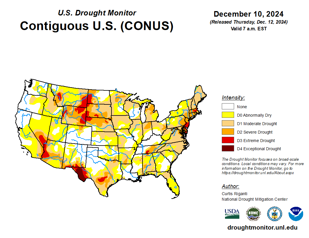
- In the South, cold, dry weather follows recent rainfall. Light freezes were noted Thursday morning as far south as northern Florida, north of the state’s citrus belt. This week’s Southeastern rainfall improved soil moisture in areas that had been trending dry, with positive impacts expected for pastures, winter grains, and cover crops. However, the rain also slowed late-season fieldwork, including cotton harvesting, which by December 8 was 93% complete in Florida.
Outlook:
Cold conditions in the Midwest and East will ease during the weekend, with above-normal temperatures returning early next week. Downwind of the Great Lakes, snow squalls will subside by tonight, as high pressure moves overhead. During the weekend and early next week, a couple of fast-moving disturbances will traverse the country, generating light precipitation. The initial system will produce some Midwestern rain and snow showers during the weekend, along with some light rain in the South. Early next week, a second system will result in similar impacts, leading to 5-day precipitation totals reaching as much as 1 to 2 inches from northeastern Texas into the lower Ohio Valley. Elsewhere, dry weather will prevail during the next 5 days across large sections of the Plains, Southwest, and lower Southeast, while a series of Pacific storm systems will maintain unsettled, stormy conditions in northern California and from the Pacific Northwest to the northern Rockies. The NWS 6- to 10-day outlook for December 17 – 21 calls for warmer-than-normal weather nearly nationwide, with the northern High Plains and adjacent Rockies having the greatest likelihood of experiencing above-normal temperatures. Meanwhile, near- or below-normal precipitation across most of the country should contrast with wetter-than-normal conditions in the Pacific Northwest, central and southern Texas, and portions of the Atlantic Coast States.

