U.S. Weather/Crop Progress
Highlights:
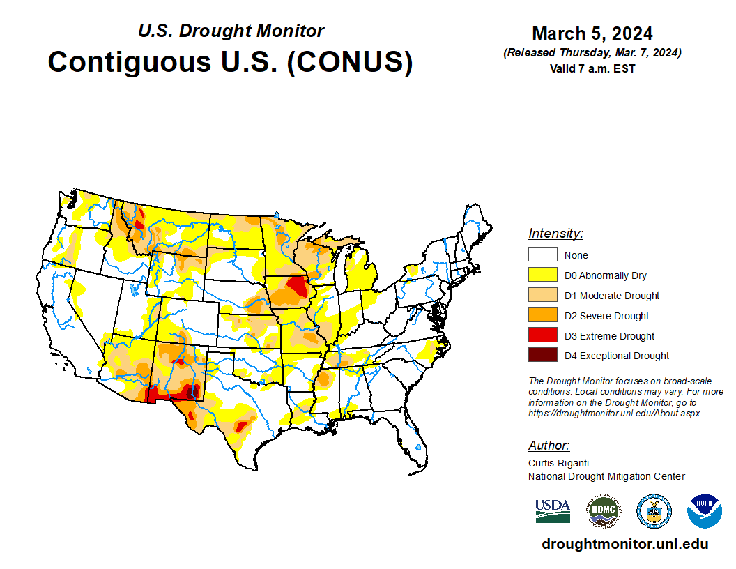
- In the West, cold, mostly dry weather prevails across much of the region, especially in the Northwest. However, some rain and snow showers are lingering in some areas.
- In the Plains states, mild dry weather covers much of the region. An exception is Montana and the Dakotas which are receiving light snow.
- In the Corn Belt, rain is falling in the middle Ohio Valley. The rest of the region is experiencing mild, dry weather.
- In the South, temperatures are above normal. In the western Gulf Coast region, spring planting has started.
Outlook:
A storm system emerging from the western U.S. will cross the central and southern Plains on Thursday and Friday before reaching the Great Lakes region during the weekend. Hazards associated with the trailing storm may include heavy rain and locally severe thunderstorms. The most significant threat of severe weather will begin late Thursday across the southern Plains and extend eastward across the South on Friday into Saturday. Storm-total rainfall could reach 1 to 3 inches or more from the central and southern Plains to the Atlantic Coast, while rain may change to snow in portions of the Great Lakes States.
Elsewhere, the West will experience a brief lull in stormy weather, although rain and snow should return across the Pacific Northwest during the weekend.
The NWS 6- to 10-day outlook for March 11-15 calls for near- or above-normal temperatures nationwide, with the greatest likelihood of warmer-than-normal weather focused across the upper Midwest. Meanwhile, near- or above-normal precipitation across most of the country should contrast with drier-than-normal conditions in southern California, the Desert Southwest, and the Atlantic Coast States from the Carolinas to southern New England.

