U.S. Weather/Crop Progress
Highlights:
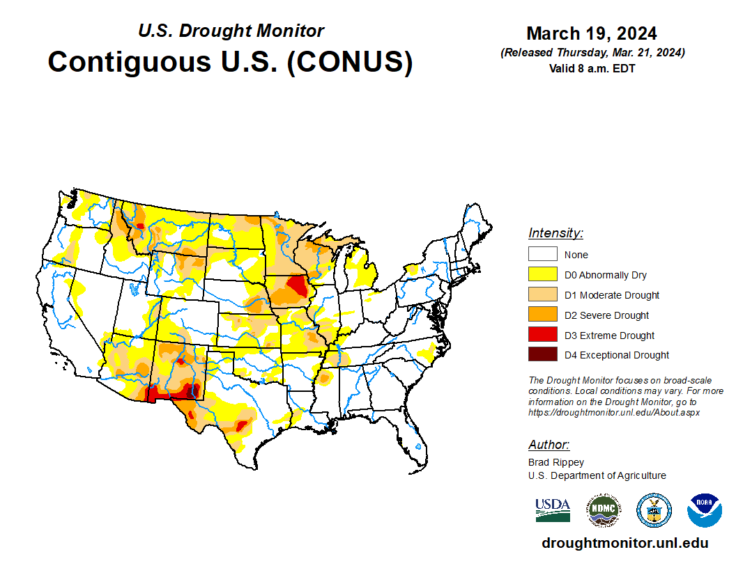
- In the West, warm, dry weather in advance of approaching storms is allowing spring fieldwork to proceed in several key agricultural regions across California and the Southwest. However, colder, wetter conditions are lurking to the west and north, with showers expected in the Pacific Northwest.
- In the Plains states, cold air is edging into northern Montana and the Dakotas, setting the stage for a winter storm. Across the southern half of the Plains, warm, dry weather is promoting fieldwork and winter wheat development.
- In the Corn Belt, dry weather prevails, aside from snow showers in the vicinity of the Great Lakes. Cold air has settled across the northern Corn Belt, with minimum temperatures falling to below 10°F in northern Minnesota.
- In the South, scattered frost was observed Wednesday morning as far south as Alabama and Georgia, as producers continue to monitor blooming fruits and winter grains for signs of freeze injury. Dry weather throughout the region favors spring fieldwork, including early season planting efforts, except in areas that recently received heavy rain.
Outlook:
Back-to-back storms across the northern U.S. should produce significant snow from the northern Plains into the upper Great Lakes States. The second storm system, expected to reach peak intensity over the weekend or early next week, has the potential to double season-to-date snowfall totals in parts of the upper Midwest. In addition, wind-driven snow from both storms could complicate rural travel and lead to hardship for Northern cattle, especially newborns.
Separately, a late-week storm will produce rain in the southern and eastern U.S., with 1- to 3-inch totals possible in portions of the Gulf and Atlantic Coast States. Elsewhere, cool, unsettled weather will return across the West, especially from northern and central California and the Pacific Northwest to the northern Rockies. A prolonged cold spell is expected to settle in across the North, with frequent freezes expected as far south as the central Plains and the Ohio Valley. The NWS 6- to 10-day outlook for March 25 – 29 calls for near- or above-normal temperatures in the East and along the Gulf Coast, while colder-than-normal conditions will stretch from the Pacific Coast to the Plains and upper Midwest. Meanwhile, wetter-than-normal weather will cover nearly the entire country, with the greatest likelihood of wet conditions focused across the West and from the central Gulf Coast northward into the Great Lakes States.

