U.S. Weather/Crop Progress
Highlights: ·
- Northern U.S. warmth that has dominated for the past month will shift eastward, with colder temperatures filtering into the Plains states. ·
- After a quiet start to winter, the U.S. storm track is about to become very active with multiple, significant snowfall chances ahead.
- Moderate temperatures and the arrival of widespread snowfall will be favorable for U.S. winter crops into mid-January.
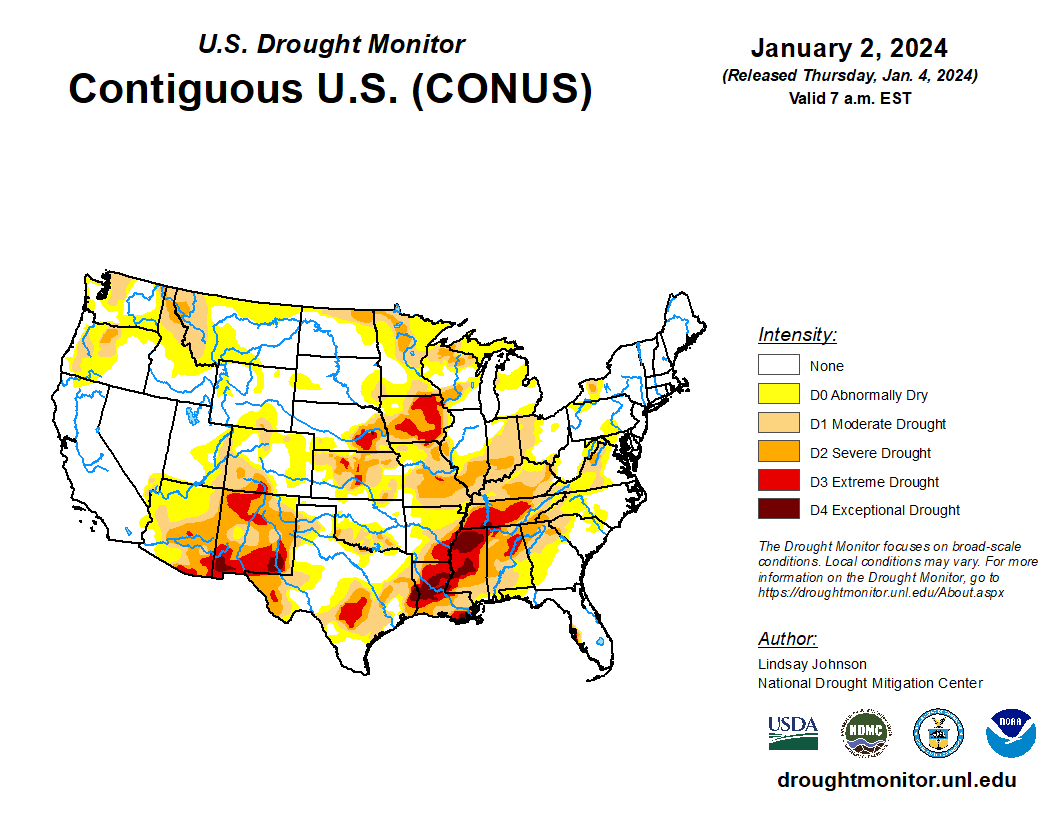
The U.S. weather pattern was split along the major U.S. crop regions during the past week. Across the northern U.S. Temperatures were 7-17 °F above normal, while the Southern Plains and Mississippi Delta Region were 2-4 °F below normal. 7-day precipitation totals were 15-35 mm (~0.6-1.4 in) wetter than normal spanning the Midwest and Northern Plains, while the Southern Plains and Mississippi Delta Region were up to 25 mm (~1 in) drier than normal. Precipitation along the Central/Northern Plains was high and resulted from a major winter storm last week, and snow cover still blankets the region, while snow coverage is nearly non-existent in the eastern U.S. Persistent warmth along the major winter wheat regions of the U.S. made for another favorable week for the crop.
A very active winter pattern will emerge across the U.S. into mid-January. Temperatures in the next few days will mirror the past week, with the Midwest and Northern Plains 7-14 °F above normal while portions of the southern U.S. will be 2-4 °F below normal. A major shift will arrive in the 6-10 day forecast. Cooler temperatures will be featured in the Plains and western U.S. whereas warmth will become focused on the eastern half of the country. This will set up a very active storm track that will bring multiple snow chances to the U.S., with most regions 25-75 mm (~1-3 in) wetter than normal through the next 10 days. The first snow chance will come over the weekend and will be focused on portions of the northern/eastern Midwest. However, a powerful winter storm could be brewing for early next week, as forecast models have consistently shown this for a few days. If it holds, the result will be significant snowfall totals spanning the Plains/Midwest states along with blizzard conditions from very strong winds. This storm potential will be the main story to monitor over the course of the next week, as extreme cold risks are still not evident anytime soon in most areas. Despite colder temperatures moving into the Plains, present and upcoming snow coverage will prevent any concerns about U.S. wheat winterkill.